Eugenia Falls Conservation Area
Eugenia Falls Conservation Area is a great spot to stop for a view of a stunning waterfall and get a history lesson into “fool’s gold”.
To get here from Toronto take ON-410 N, Hurontario St and ON-10 to Collingwood St/Grey County Rd 4 in Flesherton. Follow Grey County Rd 4 and Beaver Valley Rd/Grey County Rd 13 to Pellisier St. It is about a 2 hour very scenic drive.
You can find parking at the end of Pellsier St. However the park is closed during late fall and all winter.
This is a great place for families to enjoy a short walk along the escarpment edge and participate in some outdoor activities.
Important update : Visitors that travel out of bounds or enter the property beyond the hours of operation will be prosecuted. Access to the base of the falls, standing on the top of the falls and travelling beyond fence barriers, is STRICTLY prohibited at all times.
About Eugenia Falls
Eugenia Falls is the tallest waterfalls in the area, falling at 30 meters from the Niagara Escarpment to the cuckoo valley into Beaver River. Eugenia Falls is part of the Bruce Trail and Grey Sauble Conservation authority. The waterflow is controlled by Ontario Hydro upstream at the power generation plant. Here they control the water levels for Lake Eugenia. This is the second hydroelectric plant. The first was introduced by Mr. Hogg in 1895 where he used the river valley and built a 70kw plant.
Discovered in 1852 and named by some ex-soldiers of the French army after Princess Eugenie, wife of Napoleon III. It was during this time, the gold rush era, that the falls were found. A flock rushed to the area only to find “fool’s gold”.
Viewing the Eugenia Falls
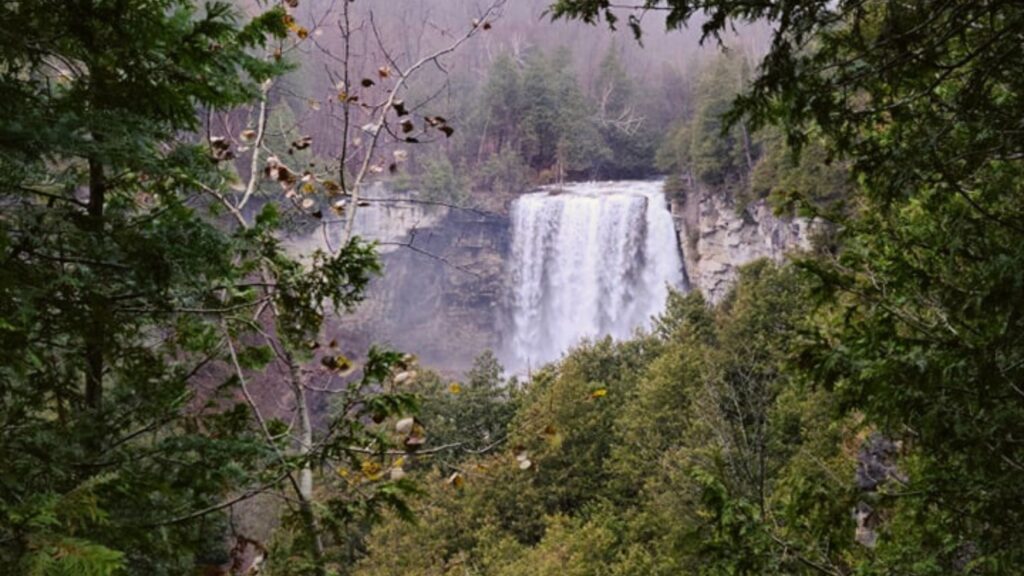
To the view the falls there is a small path leading over to a platform. Once you leave the parking area straight ahead you will find one of the platforms which has you standing beside the falls.
Take a short hike to your left along the wall and you will find another platform with views of the upper half of Eugenia Falls.
There is no path that will take you to the base of the falls and it is not safe to try. Along side are steep cliffs of the Niagara Escarpment and trying to climb down them would not be safe.
Eugenia Falls Trail
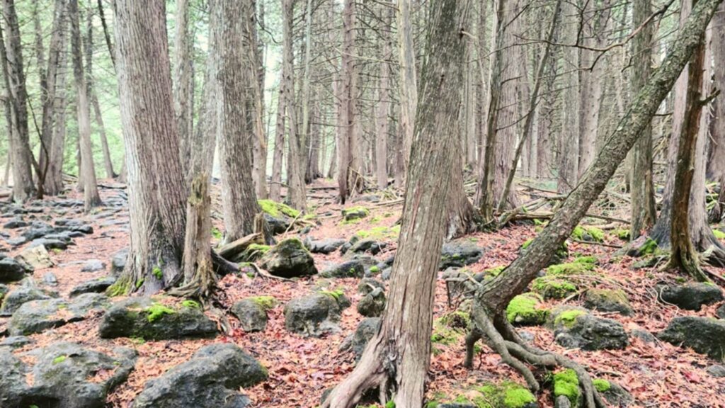
The Eugenia Falls trail is a 1.8km heavily trafficked out and back trail. The trail runs along both sides of the river. Once you view the falls head to the right and you will find the trail along side the river.
Love to hike? Check out Nottawasaga Bluffs Conservation Area
The first place you will come across is the graffiti covered ruins of a powerplant. Oh I will never understand why people “tag” things. It sits here meters from the river. Amazing it is still standing.
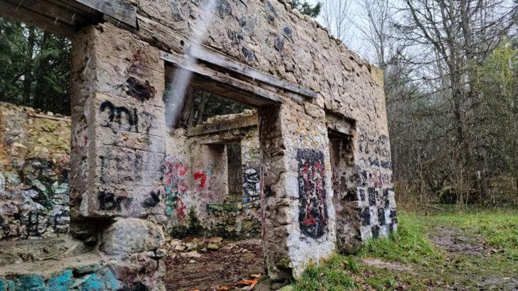
Take the trail to the pathway and cross over the river. See picture below for the path over.
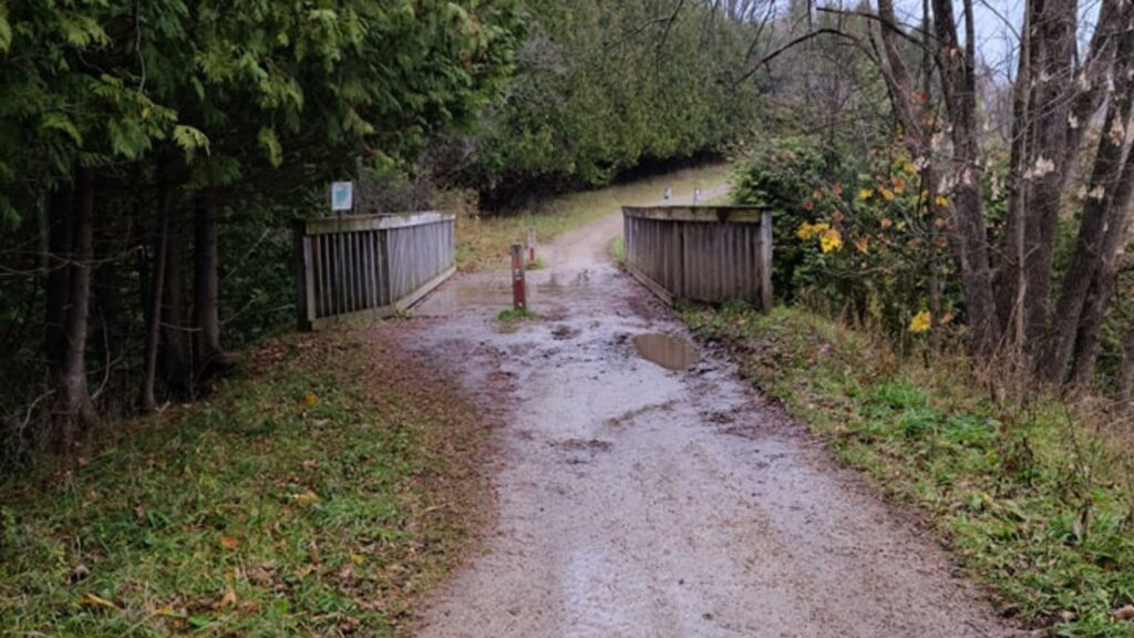
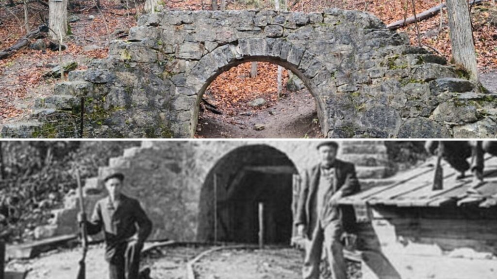
This will bring you to the Eugenia Tunnel. Mr. Hogg had a plan to run a tunnel to divert water from the Beaver river to convert energy. However, before he could complete it the company claimed bankruptcy. It now stands as a monument along the Eugenia Falls Trail.
Here is where you will see the view from the other side of the falls. It is a little more open and you can get a little closer to the falls from here. If it is wet or raining I would suggest not getting too close as you may slip on the moss on the rock.
Hogg Falls and Inglis Falls
Not far from Eugenia Falls you will find two other stunning waterfalls, Hogg Falls in nearby Flesherton and Inglis Falls near Owen Sound. If you are planning a day trip to this area here are the other waterfalls to visit. I wasn’t able to make it that day but it will be on my summer adventure.
Check out the waterfall capital of the world in Hamilton Ontario
My Thoughts about Eugenia Falls
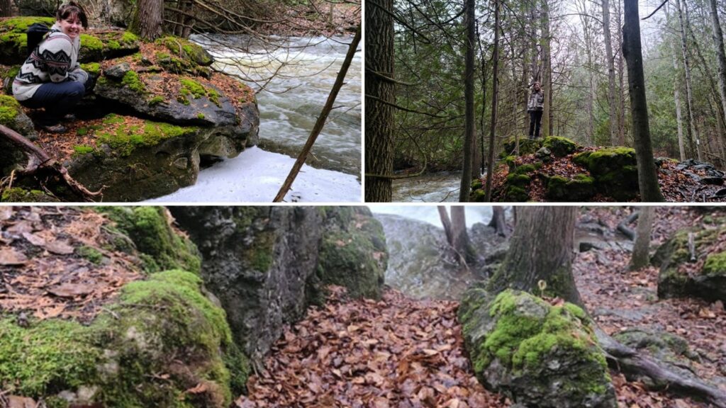
Again another place I want to visit come summer time. The location is perfect for those small day hikes and with the other waterfalls in the area you can get to them all in a day.
I would love to see families come here. Not only for the great outdoors but for the rich history this very small town provides. The area is safe, but with the steep cliffs I would be nervous about having kids running around here. Not just near the falls but along the riverside it is very important to keep an eye on your kids.
It is another place to add to the Niagara Escarpment map and where you can once again enjoy Bruce Trails.
Where is Eugenia Falls?
Eugenia Falls Map Coordinates:
44.62301, -80.83604
